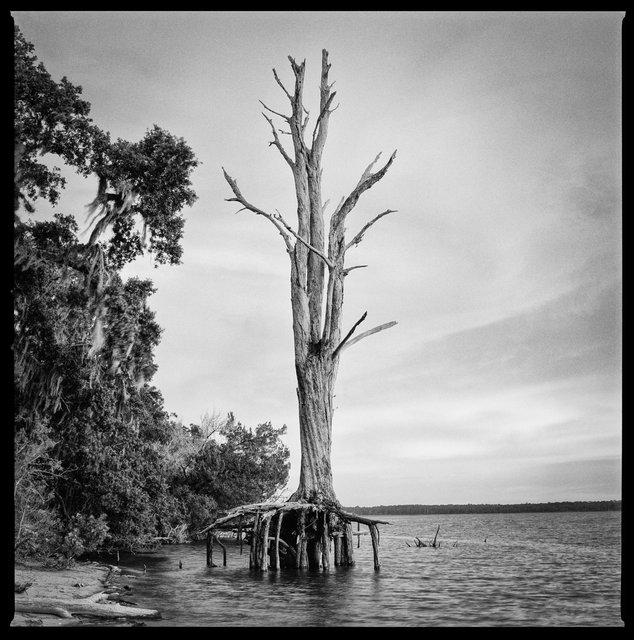
Dead Cedar, Killman Field Wetlands, 2016
Christa Bowden 16" x 16" Archival Pigment Print (24" x 24" framed)
Shoreline Erosion at Brickhill Bluff, 2018
Christa Bowden 16" x 16" Archival Pigment Print (24" x 24" framed)
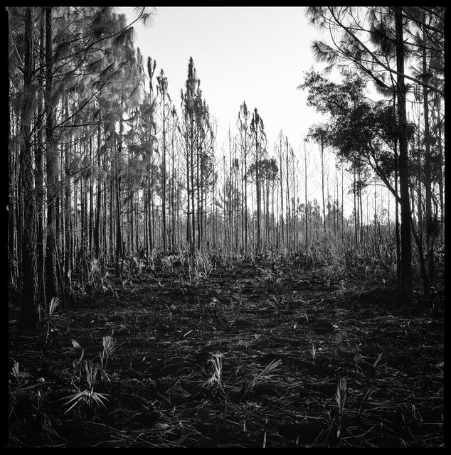
Whitney Fire Break, North Cut Road, 2019
Christa Bowden 16" x 16" Archival Pigment Print (24" x 24" framed)
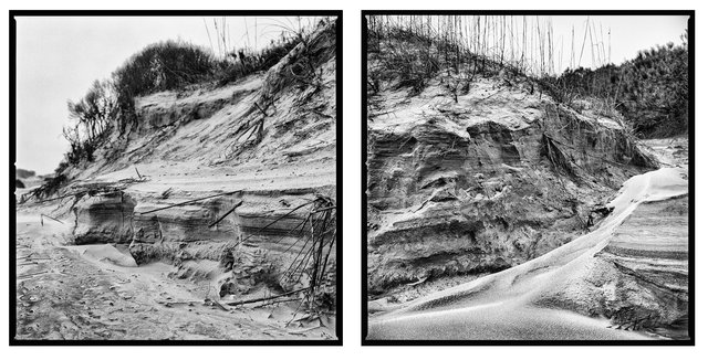
Primary Dune Erosion After Hurricane Matthew, Duck House, 2016
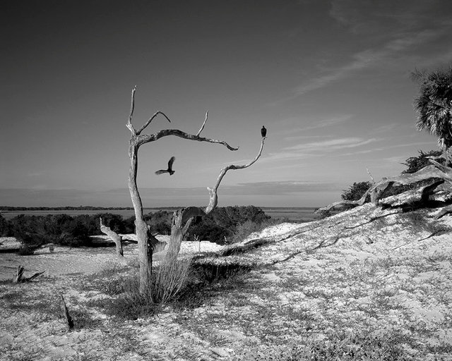
Death and Struggle: Vultures on a trail to Dungeness Beach, 2017
Emily J. Gómez 16" x 20" Archival Pigment Print (24" x 28" framed)
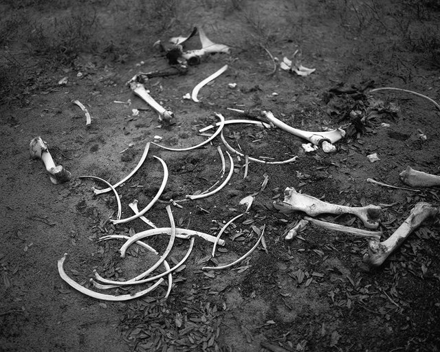
Death and Struggle: Horse Bones on the North End, 2017
Emily J. Gómez 16" x 20" Archival Pigment Print (24" x 28" framed)
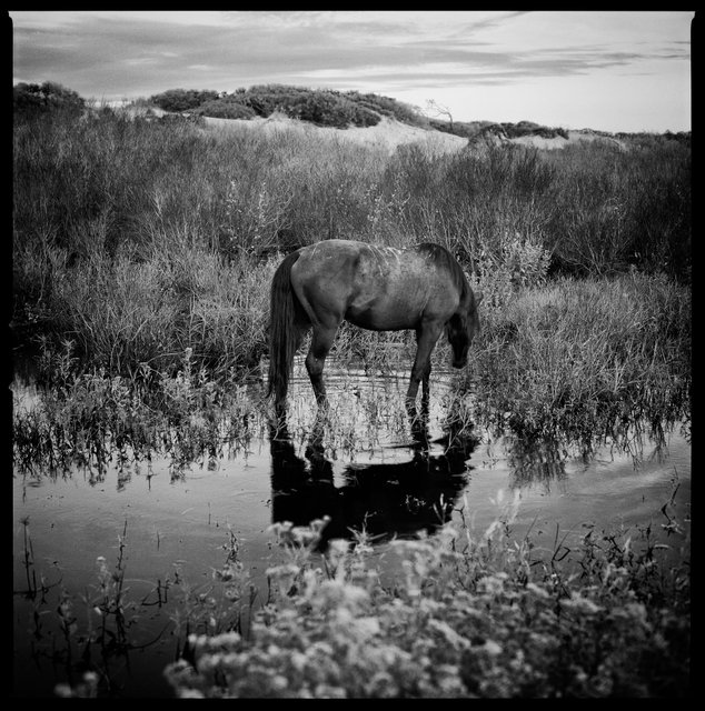
Feral Horse in Freshwater Slough, South Cut, 2018
Christa Bowden 16" x 16" Archival Pigment Print (24" x 24" framed)
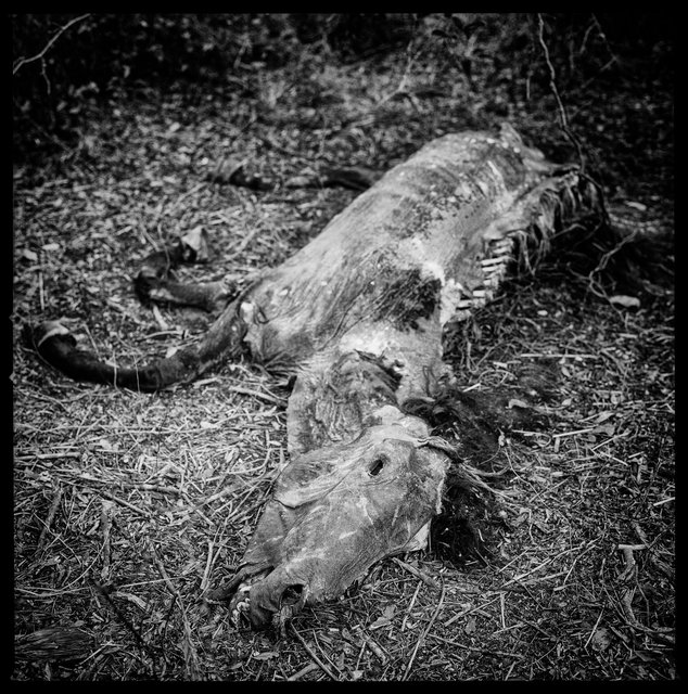
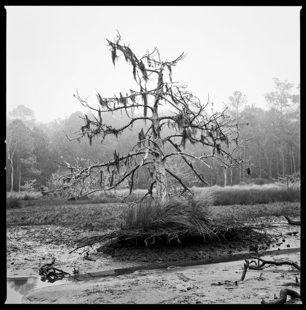
Dead Horse Roller Coaster Trail near Lake Whitney, 2018
Christa Bowden 16" x 16" Archival Pigment Print (24" x 24" framed)